The Faculty of Humanities (FIB) of the Universitas Indonesia collaborated with the Faculty of Earth Sciences and Technology (FITB) of the Bandung Institute of Technology to organize a Geospatial-Based Space Activity Mapping Workshop. This activity took place over three days, August 11-13, 2025, in a hybrid format on the ITB Campus and through Zoom Meeting.
The workshop aimed to equip Patriot Expedition participants with basic spatial data processing skills using the open-source software QGIS, starting from the introduction of mapping concepts, data collection techniques in the field, to simple spatial analysis and thematic map visualization.
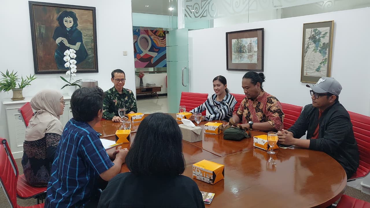
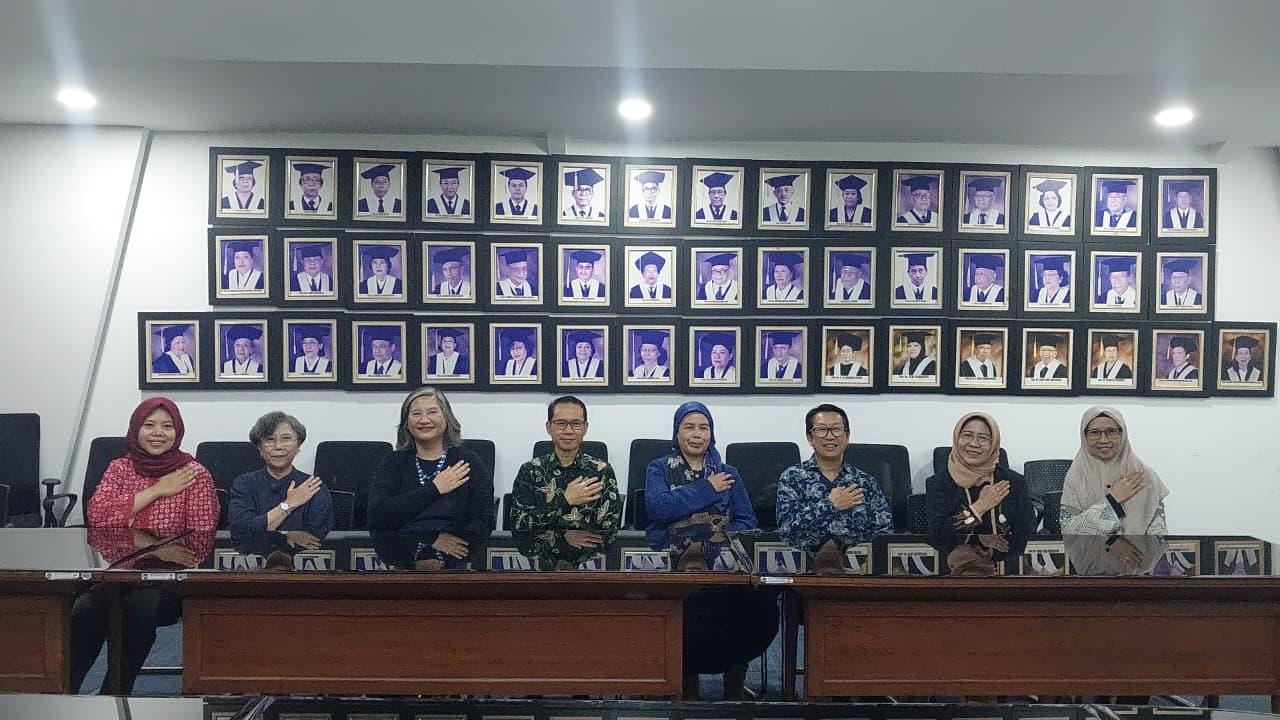
The workshop participants consisted of twenty Patriot Expedition delegates from Universitas Indonesia, consisting of lecturers and students. The workshop was attended by Prof. Manneke Budiman, Ph.D., Dr. Hendra Kaprisma, Dr. Abellia Anggi Wardani, and Mr. Nazarudin, M.A. from FIB UI, Dr. rer. nat Yasman from the Faculty of Mathematics and Natural Sciences (FMIPA) UI, and Ms. Siti Fatimah from the Vocational Education Program of Universitas Indonesia as participants.
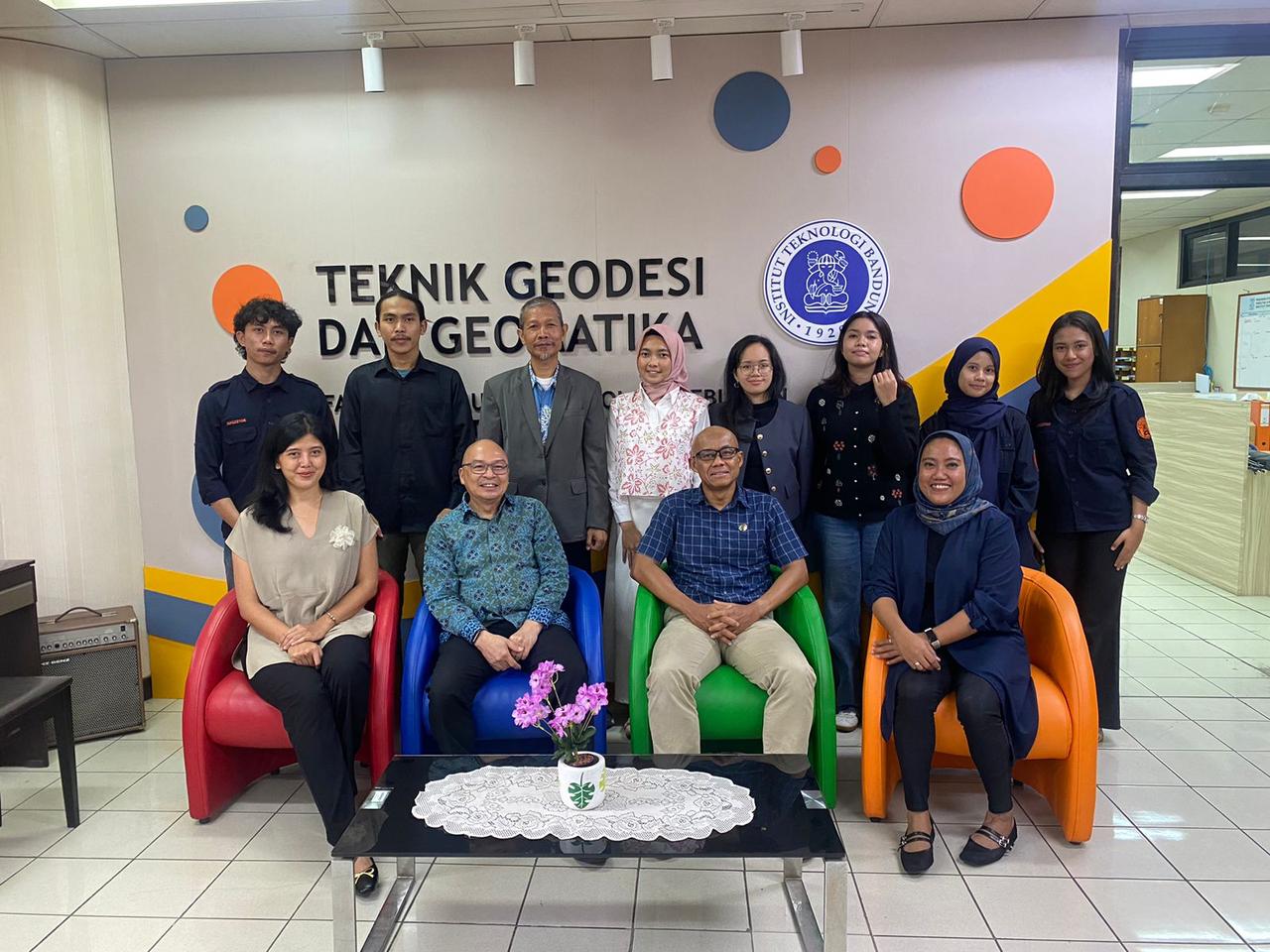
The training was facilitated by a team of lecturers and GIS experts from FITB ITB. FITB Dean, Dr. techn. Dudy Wijaya, Vice Dean Dr. Sumarwan, S.Si., Dr. Ir. Vera Sadarviana, M.T., Brian Bramanto, S.T., M.T., Ph.D., Dr. Ratri Widyastuti, Najwa Maharani, Rayhan Fadhil Muhamad, and Fandi participated in this training series.
The workshop was held for three days, from Monday to Wednesday, August 11-13, 2025, with the first day’s agenda being an introduction and practice of basic mapping, GPS use, and QGIS installation. On the second day, basic QGIS operations and field data processing were conducted. On the last day, simple spatial analysis and map visualization were conducted.
The Patriot Expedition is a flagship program of the Ministry of Transmigration involving seven universities in Indonesia, including UI, to accelerate the development of community-based integrated economic areas. As a research output, participants are targeted to produce thematic maps from field observations. This workshop is designed to strengthen the capacity of participants in processing spatial data so that the resulting output is of high quality and useful for regional development.
Through a hands-on training approach, participants learned hands-on data acquisition techniques using GPS or smartphones, importing data into QGIS, processing data into spatial information, and producing thematic maps that are ready to be used for analysis and publication.
With this training, it is hoped that the Patriot Expedition delegates from FIB UI will be able to produce accurate maps and spatial analysis, as a real contribution to the development of economic areas based on local potential. (Trans-RMRW)